Project Description
Client
Worksafe NZ.
Challenge
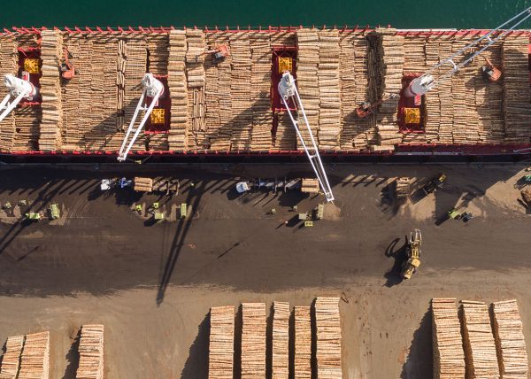
Worksafe needed aerial photos and an aerial map of a work site incident they were investigating.
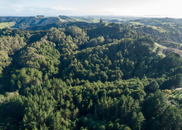
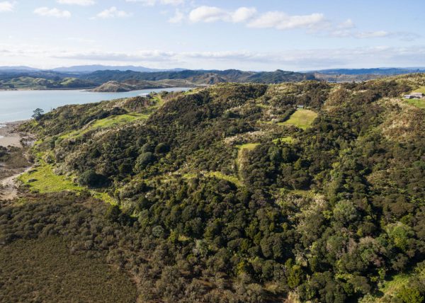
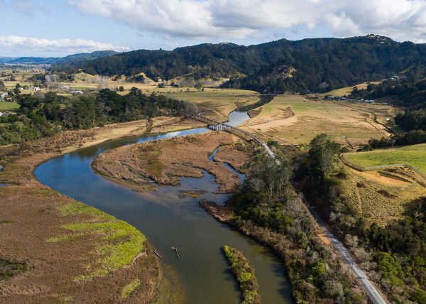
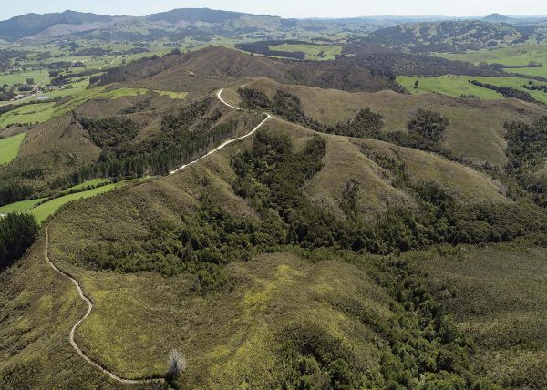
The work site was in a forestry block amid tricky terrain.
Solution
The area to be surveyed was steep, rough, and muddy. Time was a critical factor. Things needed to be done quickly in case the weather packed in.
After taking comprehensive oblique/angled aerial photos of the whole site, we performed the aerial survey with our special drone.
The outputs, after we’d finished filming and processed the footage, provided the Worksafe team with a comprehensive visual record of the site at the time of the incident. This enabled them to identify what had occurred, and to incorporate their findings with the aerial snapshot.
The aerial survey map produced allows distances to be measured, and for objects as small as 4 cm to be viewed.