Project Description
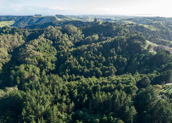
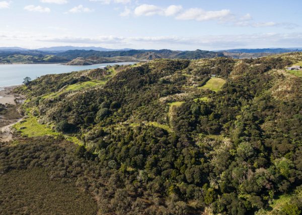
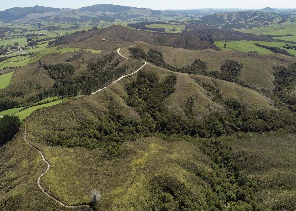
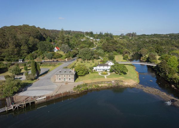
Our client wanted to perform pre-purchase due diligence in order to understand various aspects of a 22 hectare forestry block in a remote part of Northland.
Client
Private.
Challenge
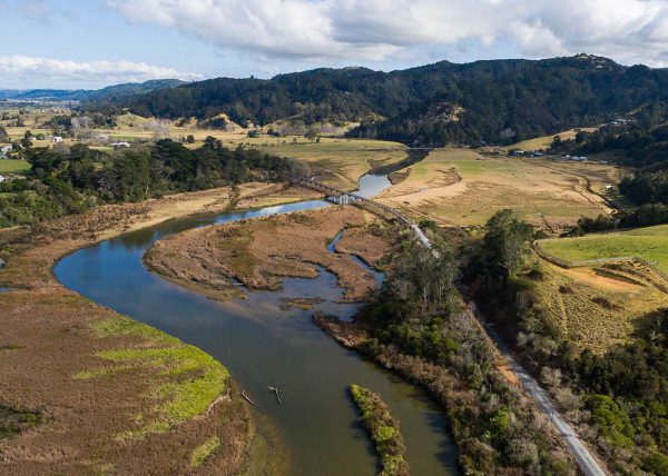
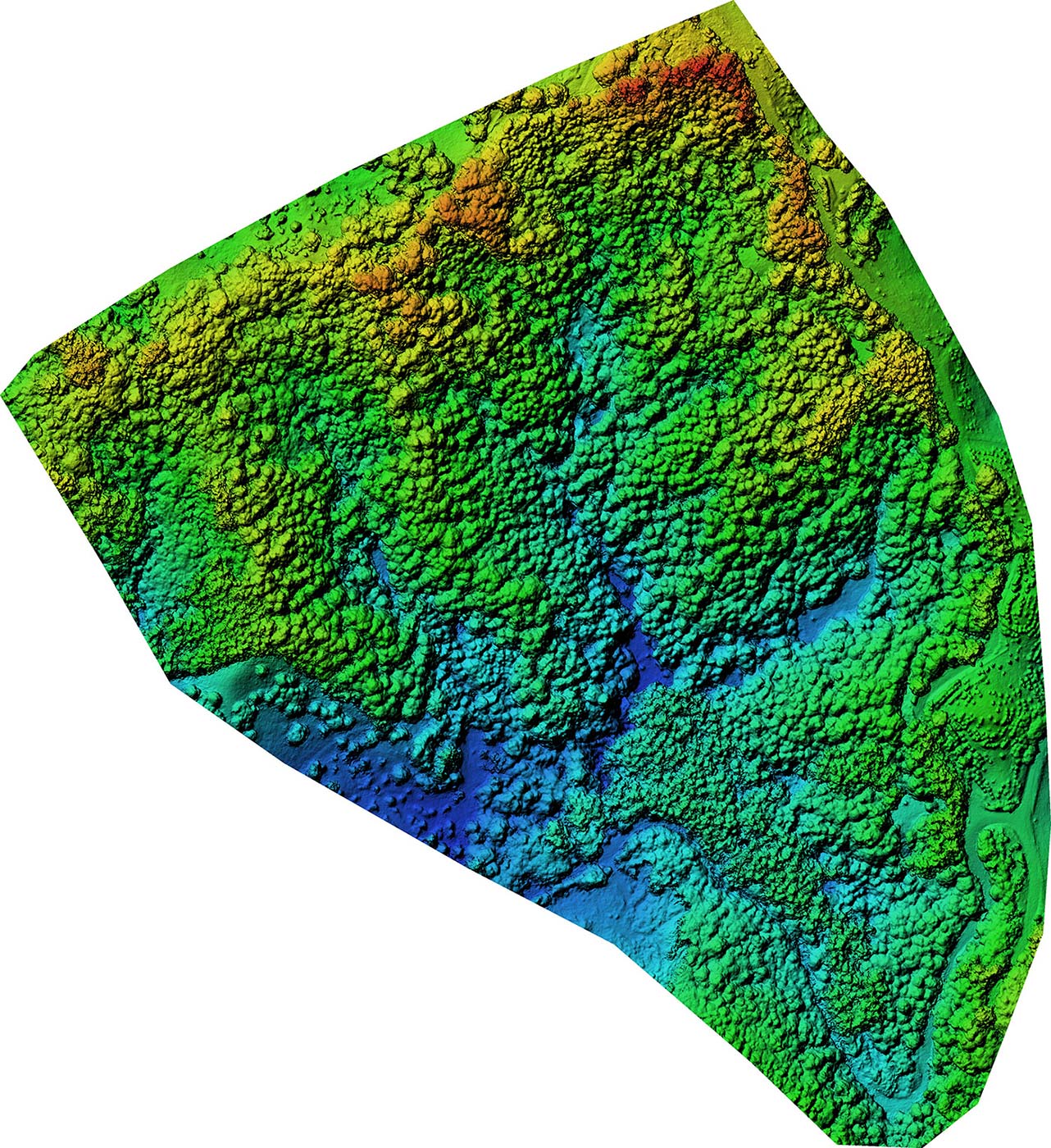
The client needed to know the layout of the site, the number, location and type of trees, elevation, and especially the location of access tracks for heavy machinery. All-weather tracks are required for felling and processing pine trees.
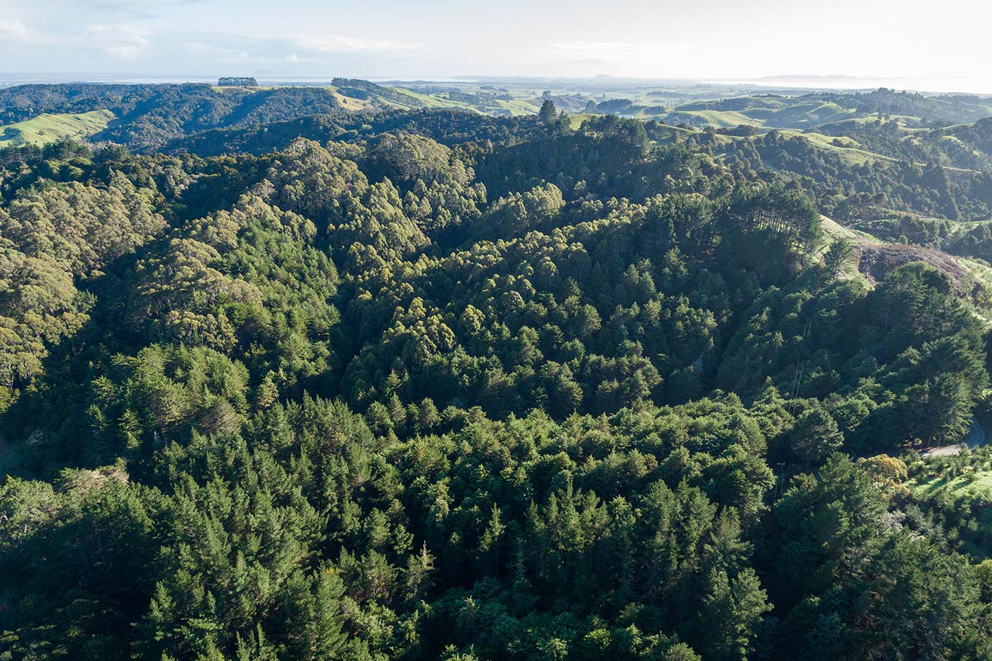
The pine trees on the site had been planted 25 years previously. The area and number of trees in the block was unknown. This was restricting our client’s ability to calculate potential harvest revenue, and assess carbon stock for the New Zealand Emissions Trading Scheme.
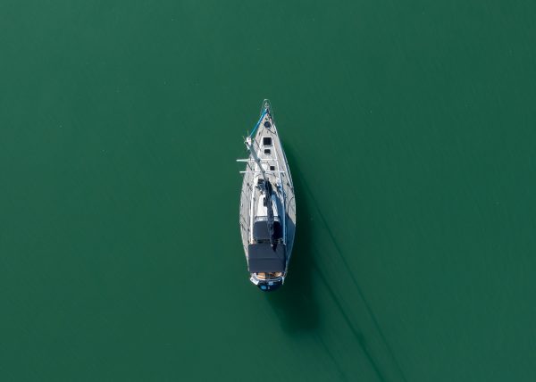
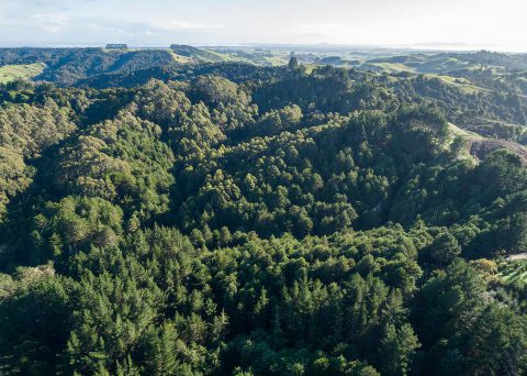
The site was steep and remote.
Only outdated, low resolution satellite imagery was available.
Solution
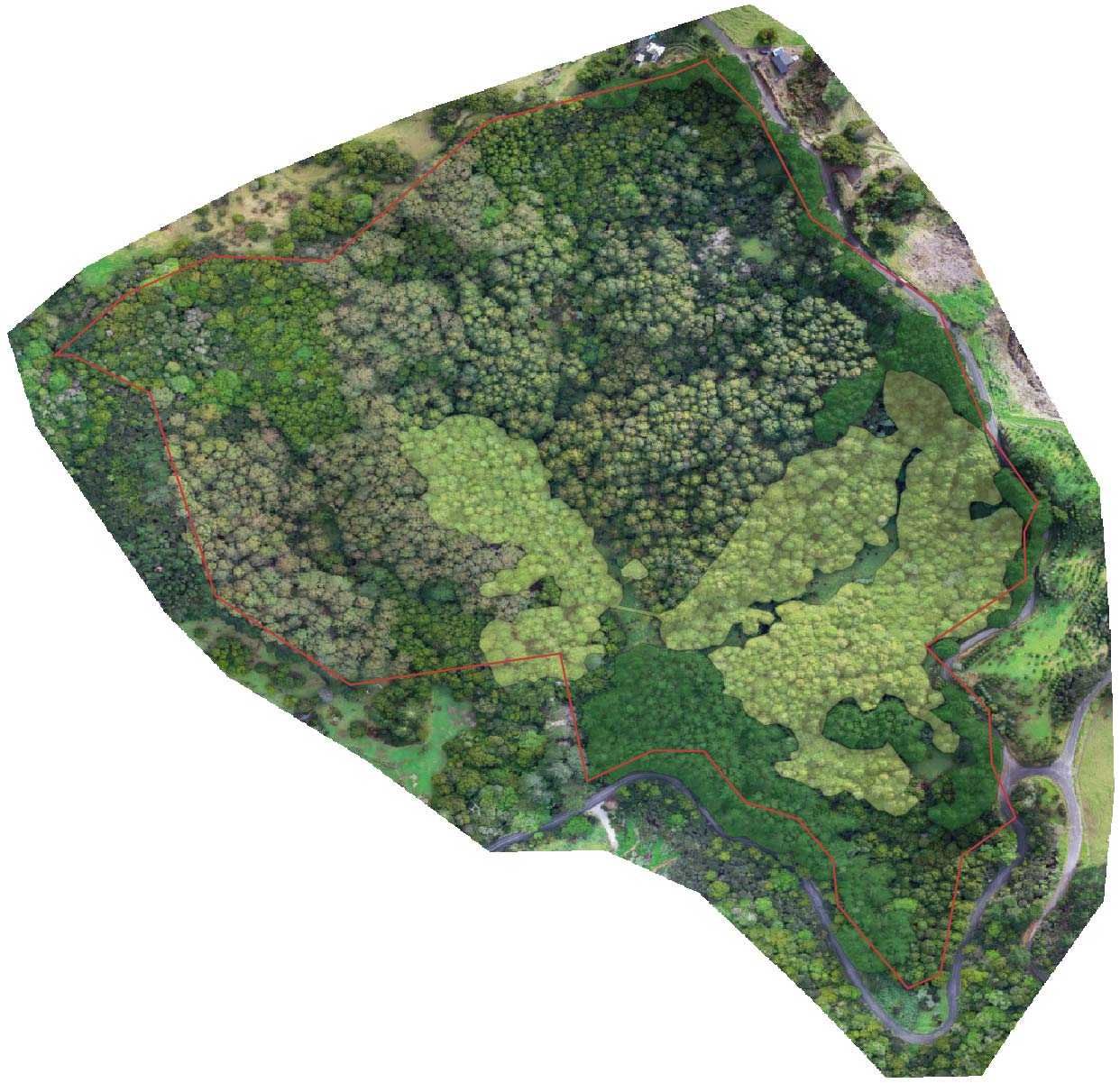
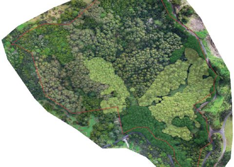
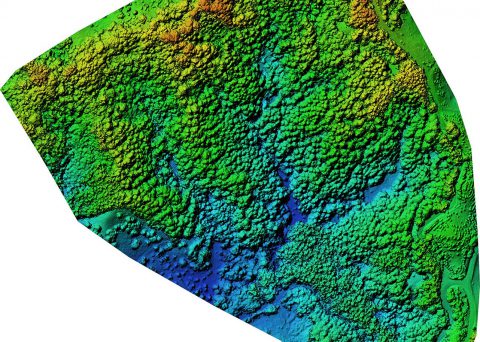
We surveyed the forest block with our drone, and created an orthophoto and 3D model. This enabled us to visually identify tree varieties, and create polygons around the Carbon Accounting Area (CAA) in a GIS programme. We then ran the orthophoto through counting software to obtain a precise count for the number of each species of tree in the block.
We provided the client with:
• An up to date, high resolution aerial map of the entire 22 ha site, for use in digital format in GIS software, and printed large scale as a reference in the office. The provided map met MPI’s exact Mapping Standard.
• Areas and tree counts of key tree species.
Our maps enabled the client to:
• Lodge an application for the carbon emissions trading scheme using the maps provided.
• Make a forestry plan for key areas.