FORESTRY BLOCK AERIAL SURVEYAerial Surveying
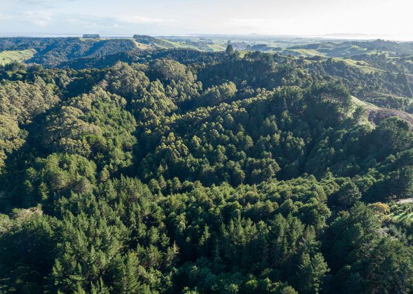
FORESTRY BLOCK AERIAL SURVEY
Our drone aerial survey of a remote Northland forest block helped our client to perform pre-purchase due diligence.
Work Site InvestigationAerial Surveying

Work Site Investigation
Timely and comprehensive visual records of challenging incident sites.
Oue Property SurveyAerial Surveying
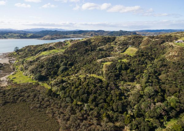
Oue Property Survey
Highly detailed overviews of a property’s features and boundaries.
NORTHLAND CYCLE TRAIL FLOOD RESILIENCE SURVEYAerial Surveying
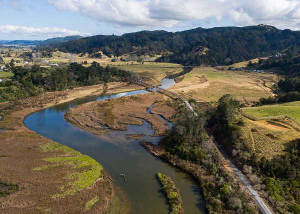
NORTHLAND CYCLE TRAIL FLOOD RESILIENCE SURVEY
We mapped the 3 km Twin Coast Cycle Trail in Northland with our drone, to help our engineer client plan how to flood-proof the trail's low-lying areas.
NATIVE BUSH RESERVE ECOLOGICAL SURVEYAerial Surveying
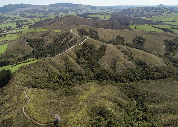
NATIVE BUSH RESERVE ECOLOGICAL SURVEY
Our drone survey of a fire-damaged forest in Northland helped ecologists understand the state of the reserve and monitor its recovery.