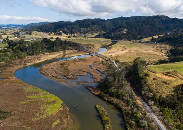
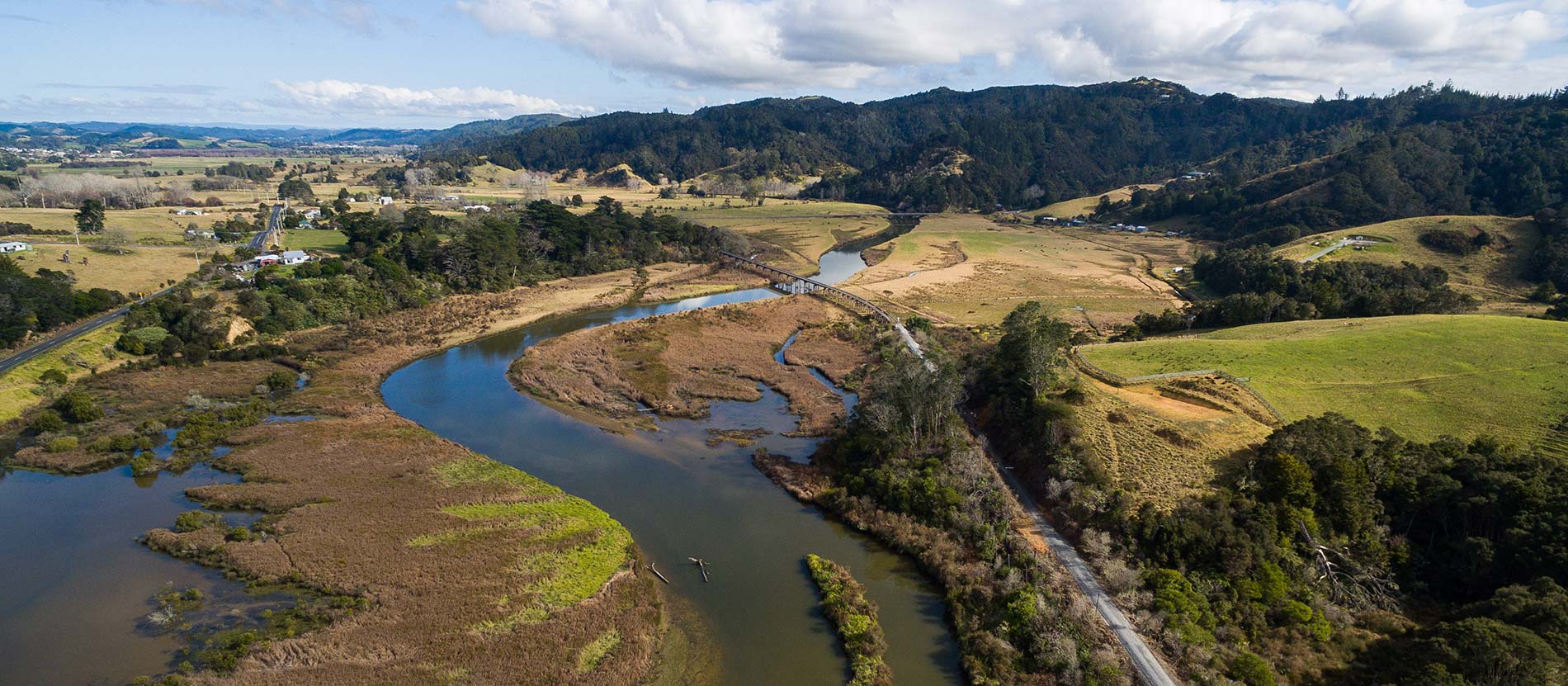
Aerial mapping benefits construction projects
Who do we work with?
We will meet your deliverables, and complete work within your budget and timeframe, including a fast turnaround to meet a tight deadline. We are easy to work with, and open to discussion and providing advice during a job.
Aerial Vision is SiteWise Green accredited for 2020/2021, and we hold CAA Part 2 Certification. Read more about our aerial surveying capability.
- Engineers
- Surveyors
- Land developers
- Regional, city, and district councils
- Architects
- Builders
- Earthworks contractors
File types
We make it easy for clients such as architects, surveyors and engineers to share our maps. We can provide a range of digital deliverables that integrate with your workflow:
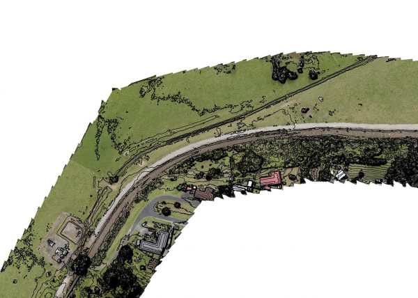
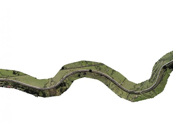
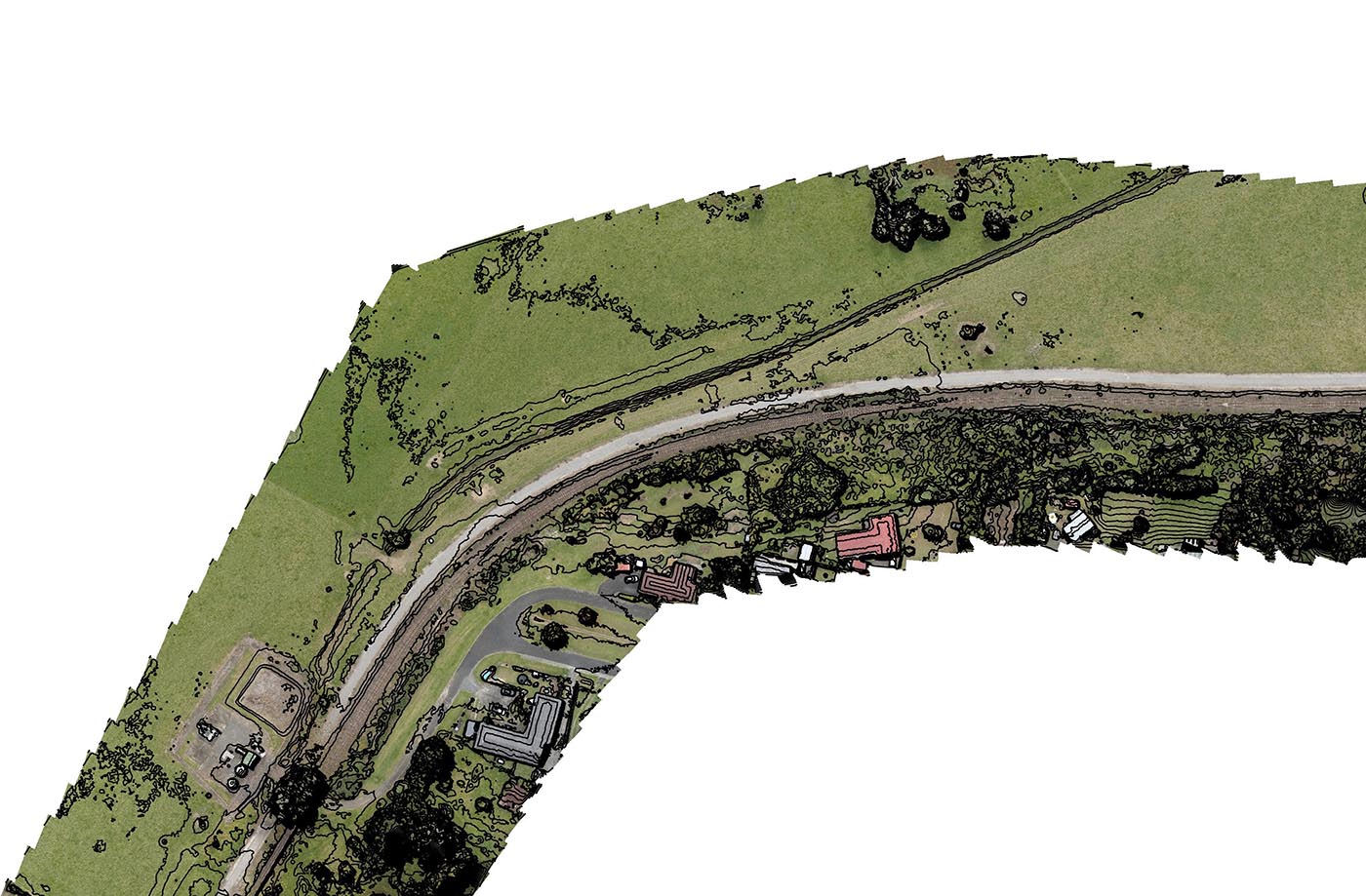
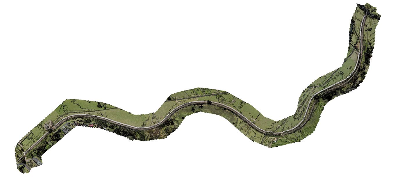
⊕ An orthophoto/aerial map in JPG or TIF format with a GSD (Ground Sampling Distance) resolution of between 1 and 6 cm/px, depending on drone flight height and detail required.
⊕ A 3D Digital Elevation Model (geoTIFF format). Open with a GIS system of your choice.
⊕ Point cloud representation of the surface in widely compatible file format.
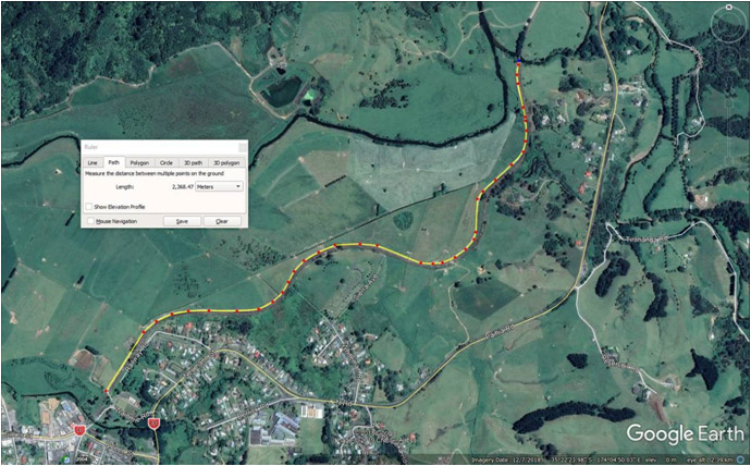
⊕ Google Earth (KMZ file) of the property, which can be used in Google Earth Pro.
Need something specific for your project? Give us a call to discuss how we can make it work for you.
How our aerial land surveys can help you
Planning stage. With our digital process, we can combine our surveys with site plans to ensure that earthworks, driveways and house sites are placed accurately according to your plan. Peg locations on site can be checked against the site plan before any permanent changes are made. Architects and builders can design a building that’s in harmony with the existing landform and in accordance with any restrictive covenants and council rules. Landscaping and drainage can be developed that works with the contours of the land.
During development or construction, land can move due to earthworks. Capturing an aerial map of the newly formed site provides up-to-date information regarding the topography of the land, and can aid in planning the next steps. For example, we can compare the “before and after” volumes of a site to give the volume difference in cubic metres or check that the earthworks have been done correctly
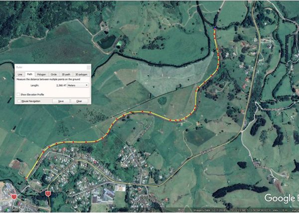
More accurate, more detail. The traditional method of a contour line map is rudimentary. It represents the landscape with contour lines – one per metre. With our survey drone technology, we can output contour information for every centimetre of the site. This allows us to provide you with an accurate, high-resolution, detailed representation of the entire property.
Up-to-the-minute information. Recent land changes may not be captured in available satellite imagery. Working with the new information from our aerial survey in an easily shared digital format allows for better design decisions.
Photographic reference is included in the map, so the site and surrounding areas can easily be identified and investigated.
Quicker turnaround time than manual surveying, and therefore more efficient.
Supporting as-built documentation. During construction, as-built documentation serves as the basis for all changes, modifications, and related adjustments, so information can be easily retrieved for any design or plan changes. After construction, as-builts provide available and accessible data about what was actually built. The accuracy of our aerial maps can help resolve inconsistencies between design plans and the as-built documentation, and prevent costly delays.
Project showcase imagery. At the completion of your project, we can capture aerial and ground photos and video to compile a stunning showcase for posterity!