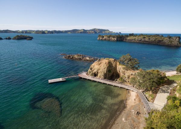
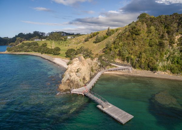
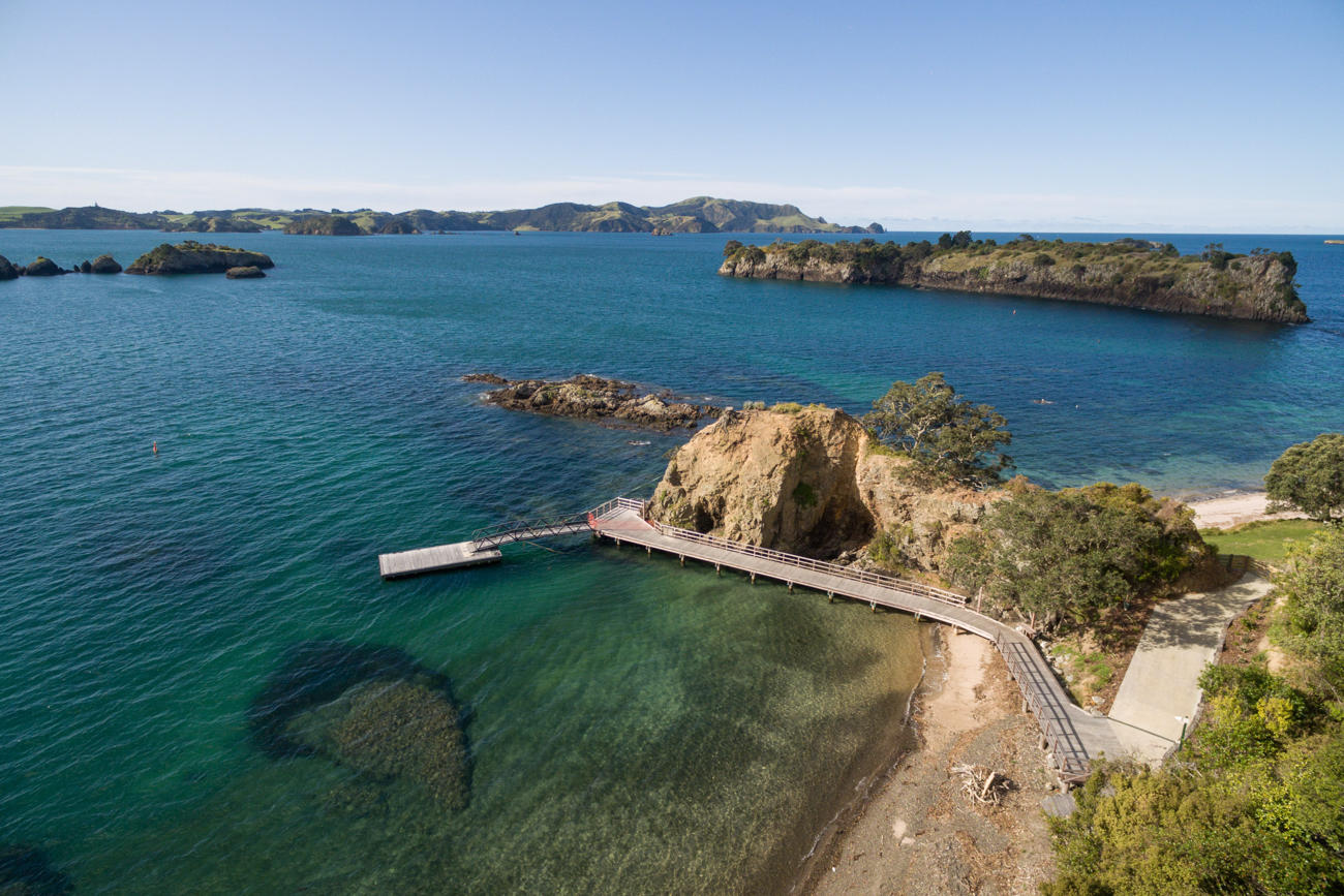
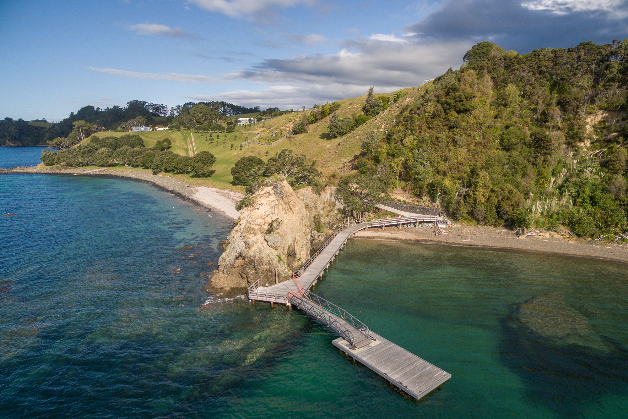
Accurately express your resource consent
Whether you’re adding on to a jetty, or building another house, you need accuracy in your resource consent application. Land-use consents and subdivision consents require details of the proposal and accompanying plans. We can create the most effective visual representation of your future development plans for your application to the Far North District Council. We can also assist with imagery to support large project proposals and tenders.
The cameras on our aerial survey drone can provide a pin-point accurate snapshot of the current state of your land. This can act as a photographic base for proposed developments or alterations to be expressed or drawn on.
Nullam id dolor id nibh ultricies vehicula ut id elit. Nulla vitae elit libero a pharetra augue. Nulla vitae elit libero, a pharetra augue.