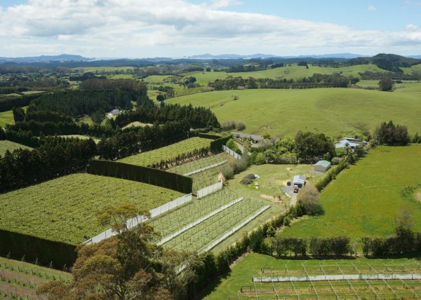
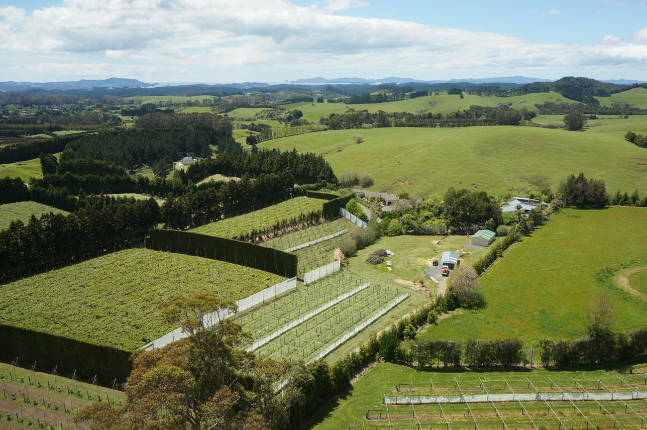
Accurate surveys of orchards and farms
We use our survey drone to produce rich, detailed visual information about your farm or orchard. This data provides a perspective that's unavailable from the ground.
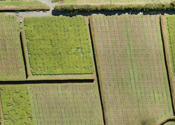
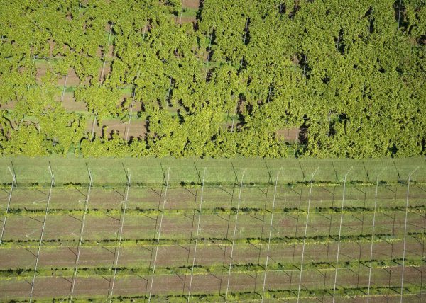
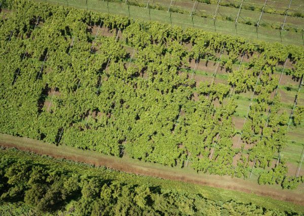
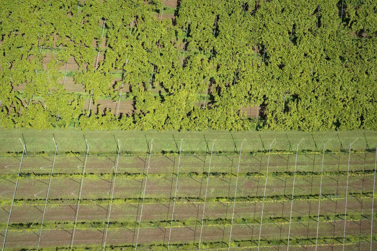
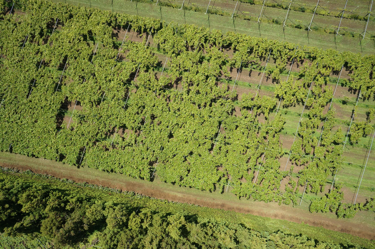
It allows you to quickly and effectively get the bigger picture about the health of your crop that you won't see walking around your kiwifruit orchard, examining the vines from below.
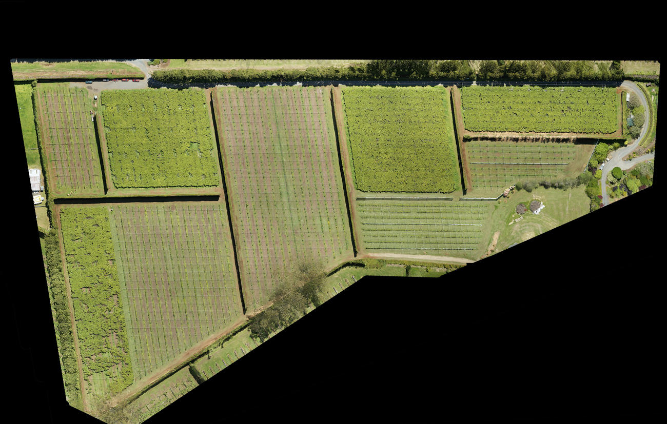
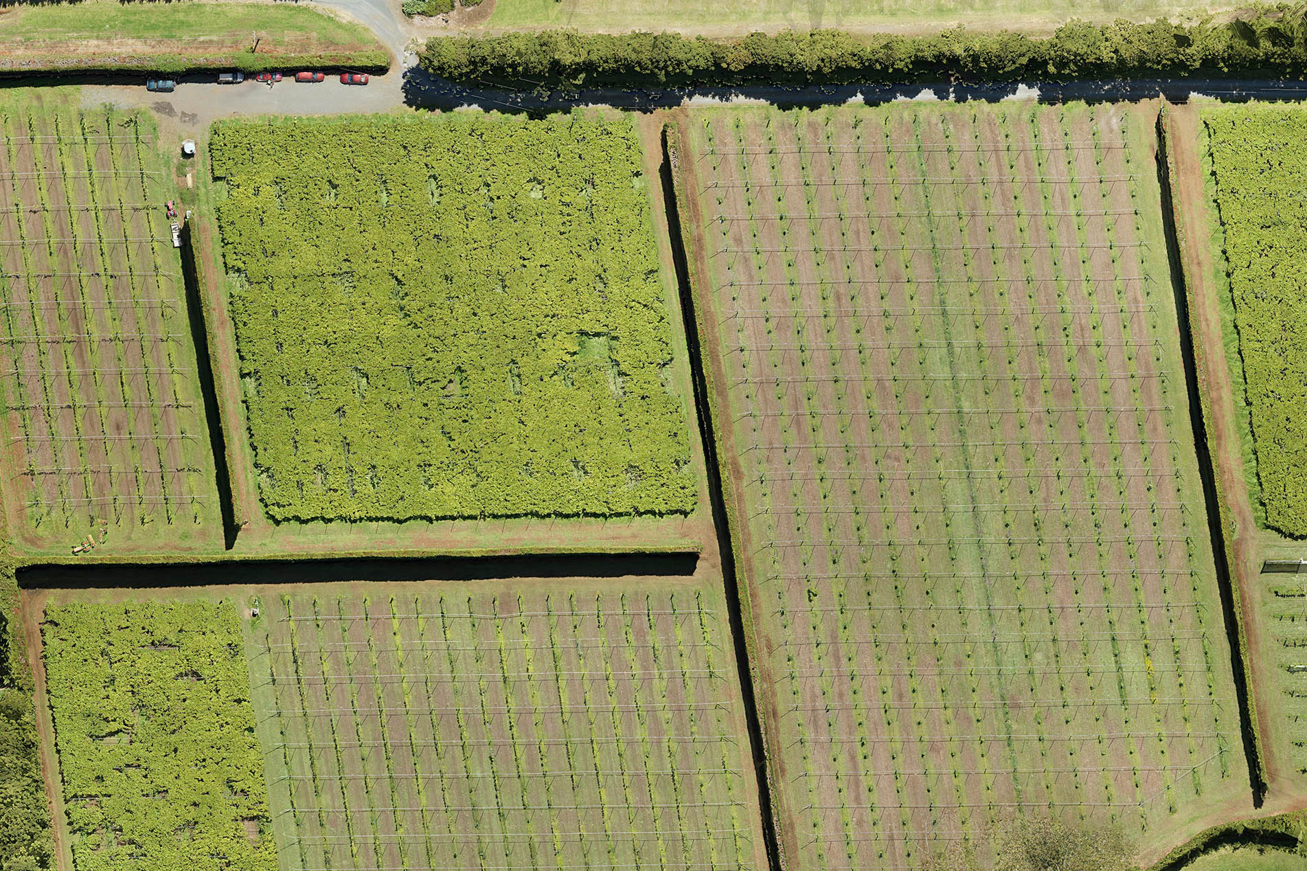
An up-to-date snapshot of the entire crop can be used to easily identify areas of weak growth, for example, allowing effective action to be taken. Surveying your farm or orchard from the air helps you to:
+ Be informed before making decisions that will affect crop yield.
+ Analyse data to assist with planning, monitoring, identifying and investigating potential problem areas.
Aerial surveys of orchards and crops are effective when conducted at regular intervals, such as at key times in the growth cycle, to make annual and seasonal comparisons of your property.
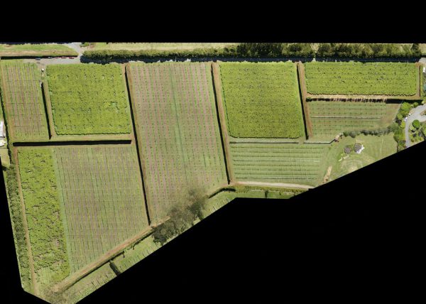
A typical output of our horticulture aerial surveying work is an orthophoto. This a single, distortion-free, top-down image of the area surveyed, created by stitching all of the original top-down photos together. The digital file is large and very detailed as it can be created from hundreds of high-resolution photos.
We use Maps Made Easy to provide the maps and 3D models. Clients can easily view the maps online, share between team members and also annotate maps to mark areas of interest or make measurements.