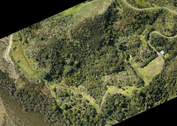
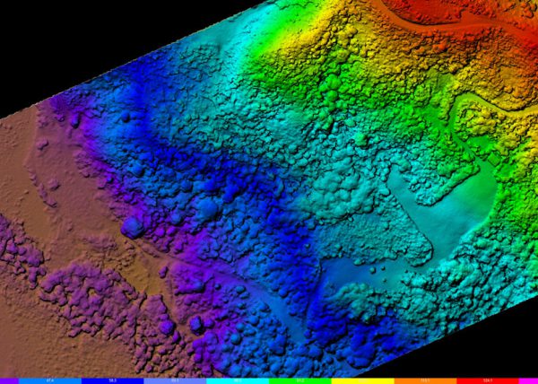
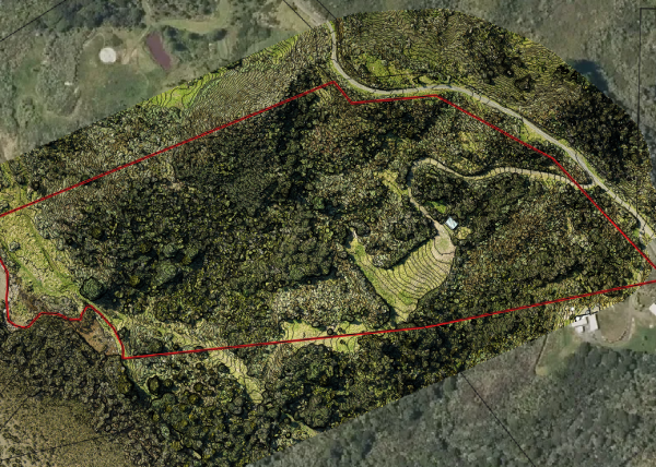
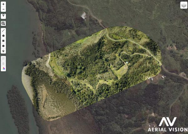
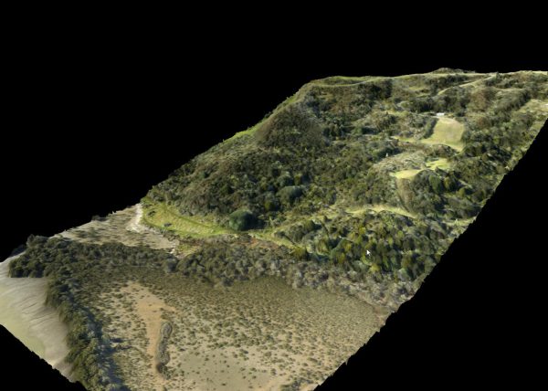
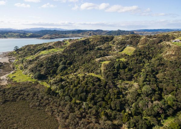
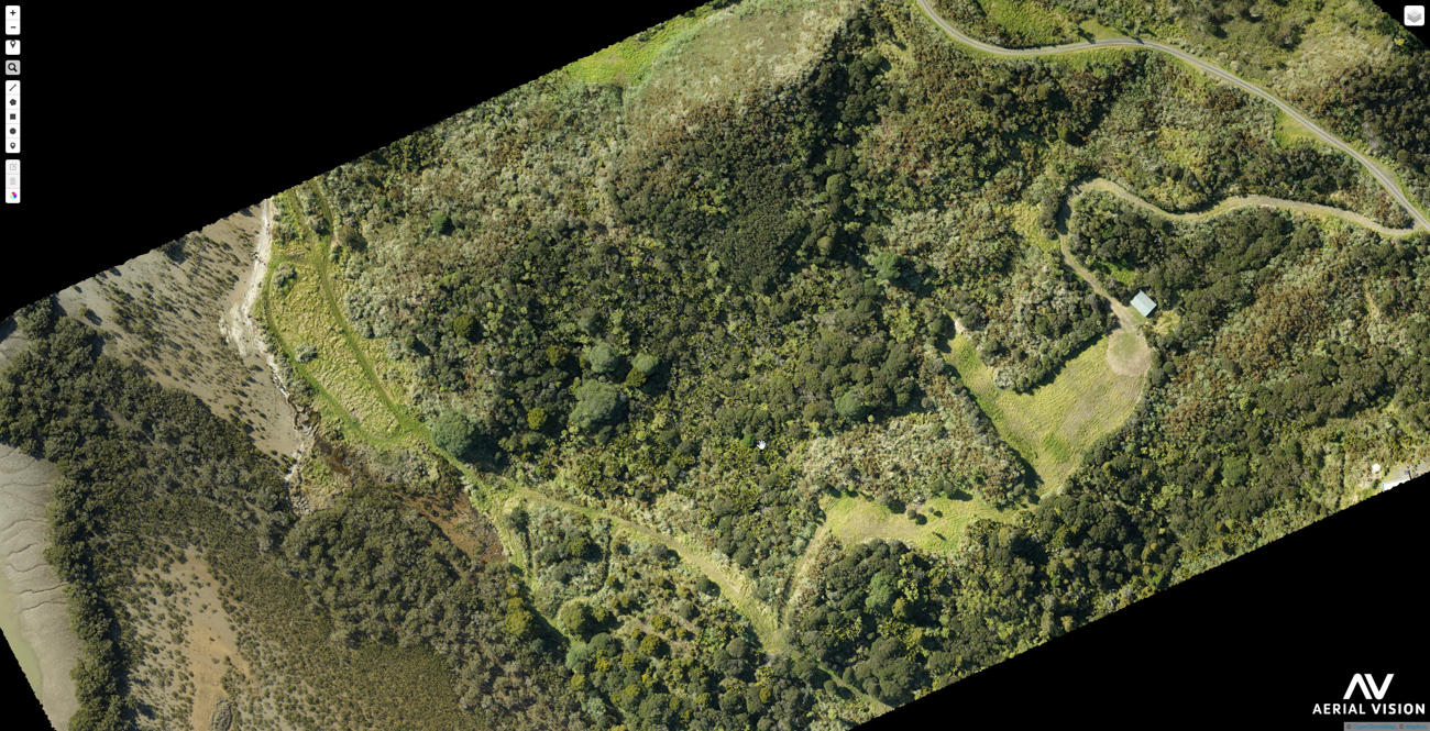
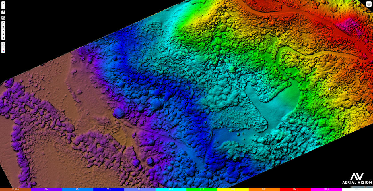
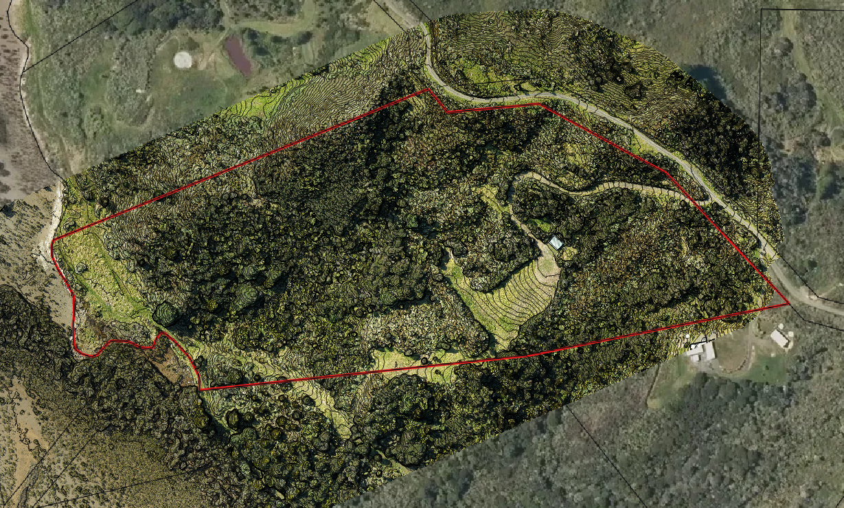
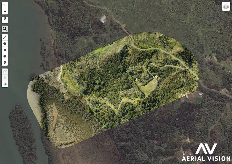
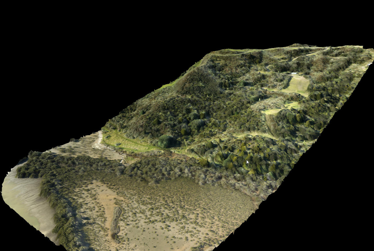
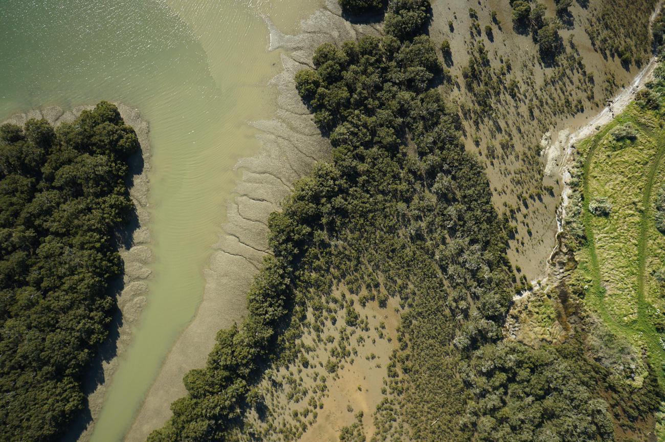
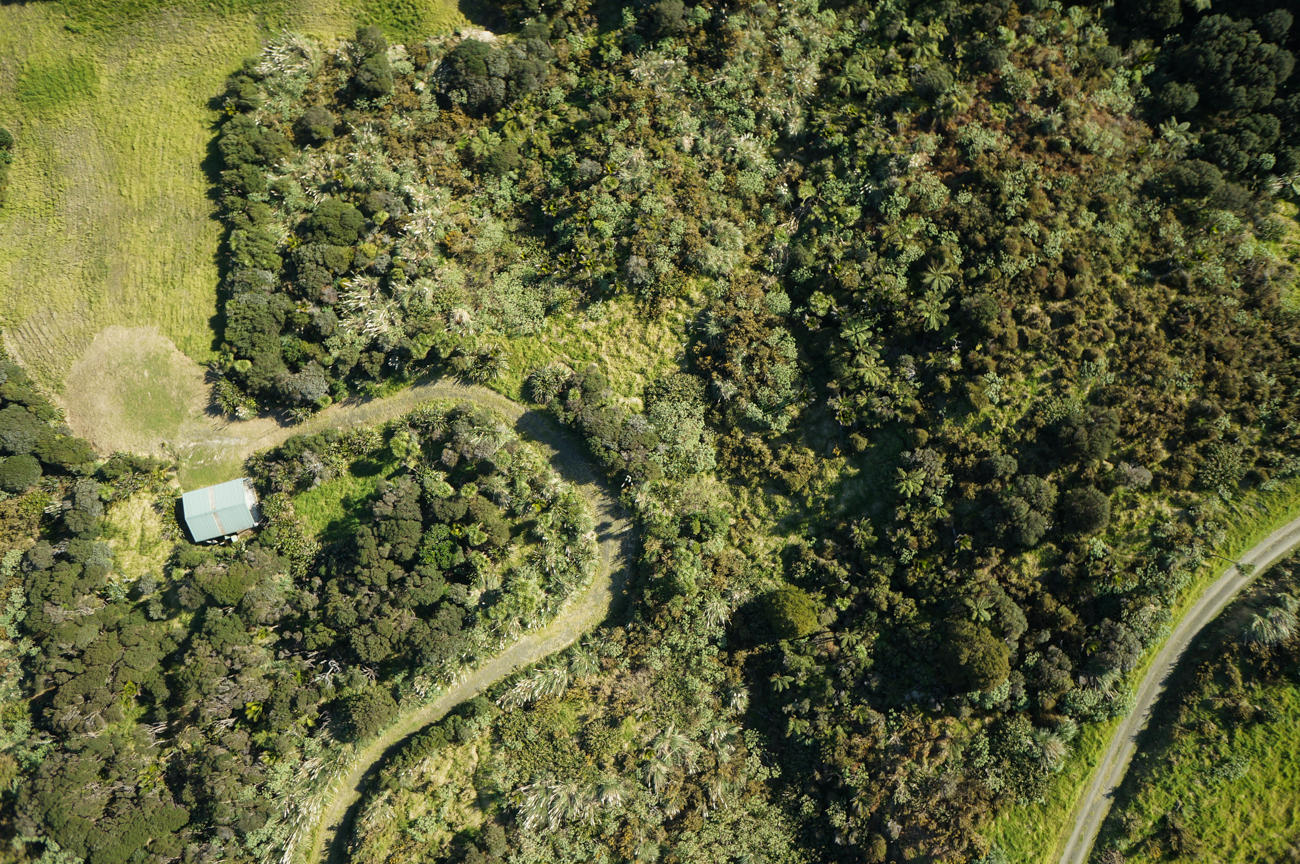
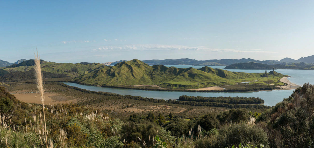
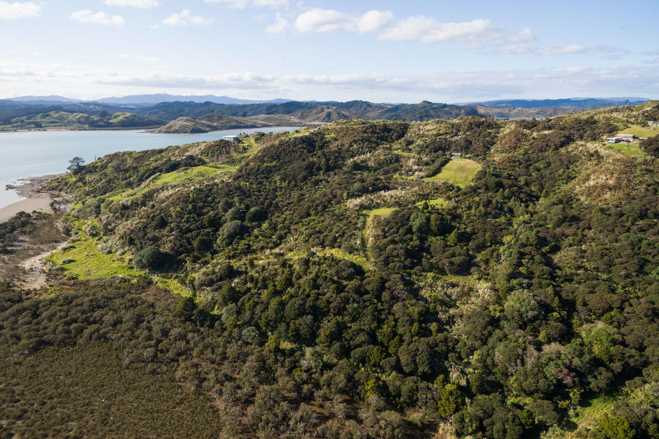
A detailed overview of your land
Our survey drone combined with cutting-edge software produces aerial maps and 3D models that help clients gain a comprehensive overview of their property’s features and boundaries.
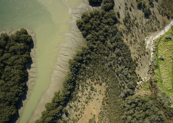
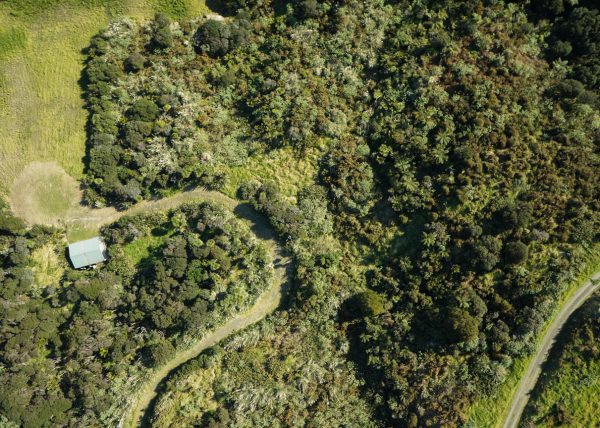
We work with new property owners, property developers, and farmers to undertake aerial property surveys. Many of our clients are looking to:
- Optimise land usage and design based on property features
- Plan potential house and building sites
- Plan landscape gardening in conjunction with drainage.